Are you planning an itinerary of Shenandoah National Park hikes but not sure which ones are best suited to your time in the park and your ability level?
The great news is that whichever hikes you choose are sure to come with waterfalls, gorgeous vistas over the Blue Ridge Mountains, and one of the best outdoor experiences in the eastern part of the United States. There are just so many great hikes in Shenandoah!
This guide will help you plan your visit with the best Shenandoah hikes so you can get the most from your National Park visit.
So, lace up your hiking boots and let’s go!
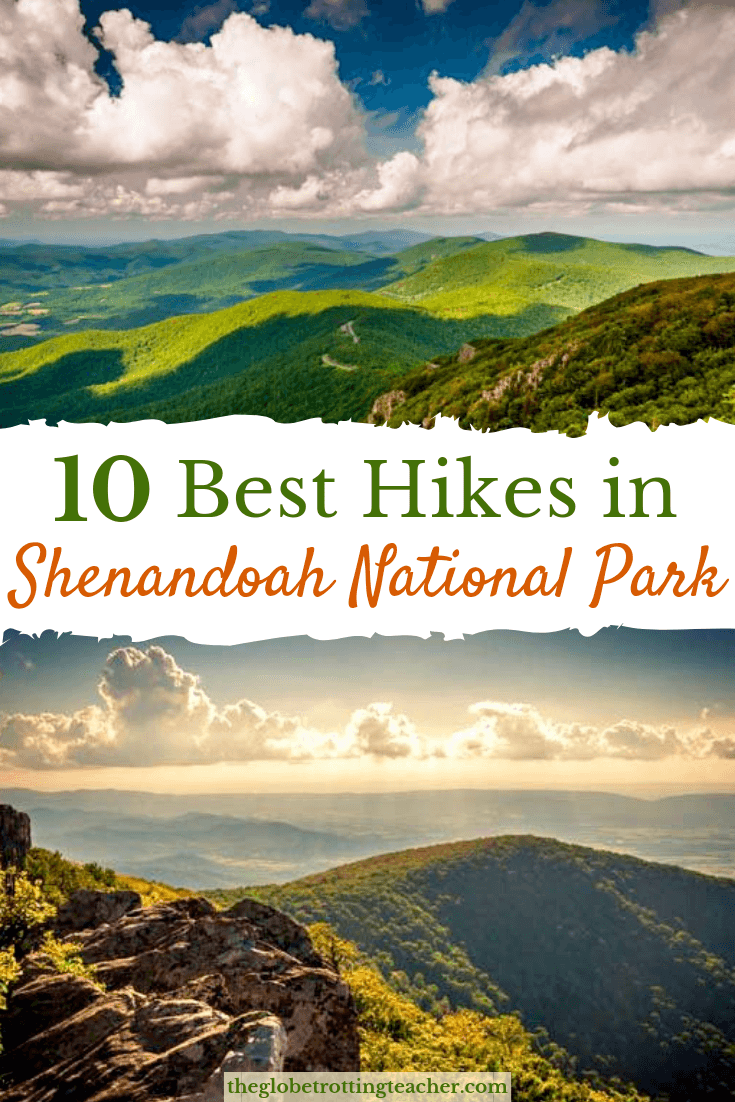
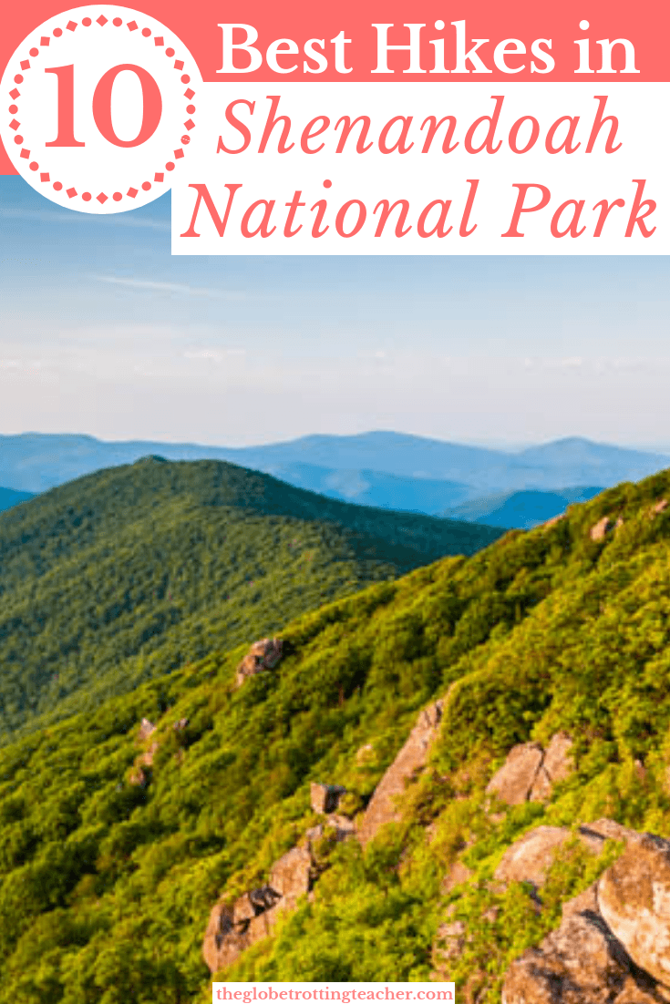
The 10 Best Shenandoah National Park Hikes
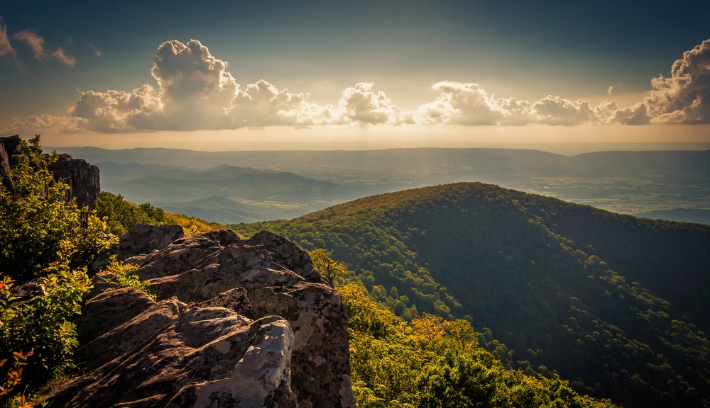
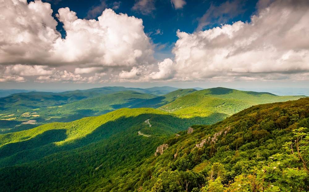
Shenandoah National Park runs from north to south for 105 miles within Virginia’s Blue Ridge mountains. The National Park is unique in a few ways, especially when compared to other U.S. National Parks like Arches or Zion.
You’re sure to notice that Shenandoah National Park is primarily a forest. The dense, wooded area blanketing the mountainsides and valleys makes up nearly all of the National Park. These forests are home to numerous species large and small, including deer, black bears, and birds of prey.
Hike Shenandoah National Park!
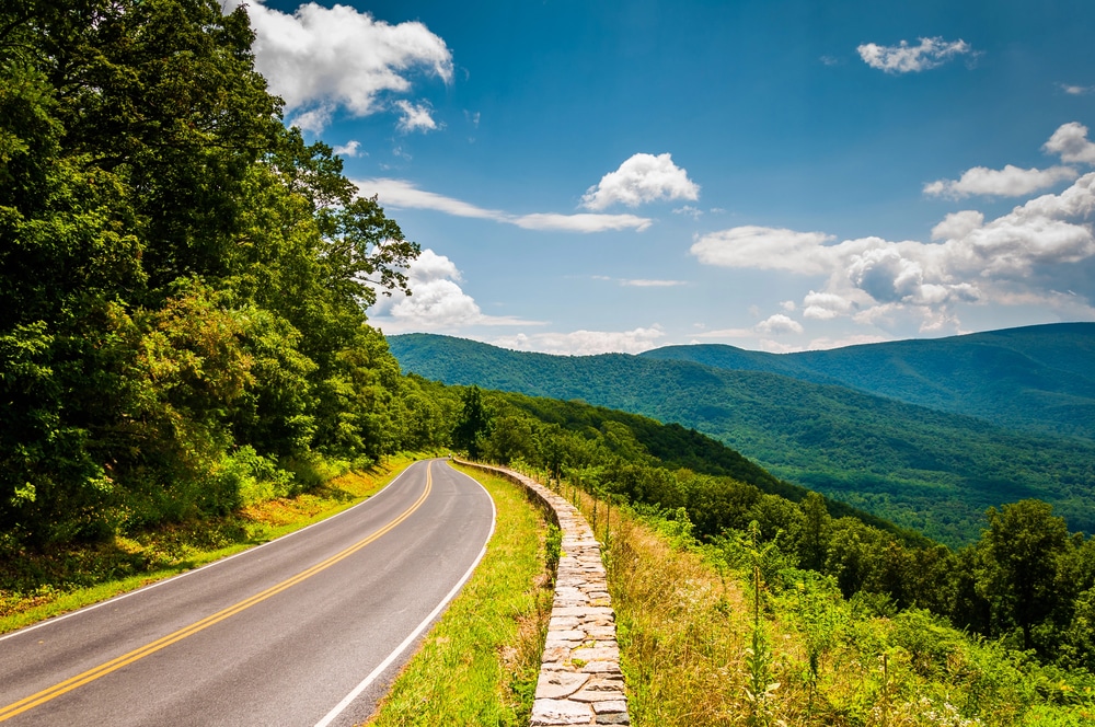
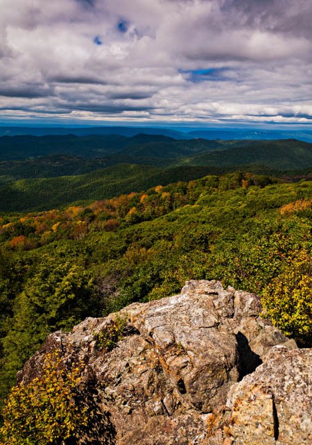
Shenandoah’s also home to the popular Skyline Drive, a scenic roadway teetering along the ridge of the mountains and veering its way through the park ascending and descending along the way. Many people visit Skyline Drive for some classic Shenandoah fall foliage. The vibrant yellows, reds, and oranges paint the landscape of oak, maple, birch, and ash trees as if it were an artist’s canvas.
There are hundreds of miles of Shenandoah hiking trails, most of which are pet-friendly, making Shenandoah one of the only National Parks to truly welcome all members of the family.
Planning a Trip to Shenandoah National Park
No matter which National Park you’re planning to visit, I always recommend having a National Parks guidebook.
Not only is it helpful for planning, but too often, a cell phone signal isn’t strong enough when you need it to be, whether you’re on a trail or driving a National Park’s scenic roads. And even downloaded Google Maps aren’t reliable when it comes to hiking trails.
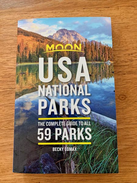
I have the Moon USA National Parks Guidebook that I always take along for National Park trips.
The first thing you’ll notice right away is the guide includes practical information and maps for all 63 USA National Parks. This is especially helpful if you’re planning a National Park road trip to see more than just Shenandoah.
After all, Great Smoky Mountains National Park is one of the most visited National Parks and can easily be part of the same road trip.
One comprehensive Moon Guidebook eliminates all worries about losing access to important park info when you see the dreaded 1x or SOS on your phone!
Not to mention, you’re also sure to be swept up in how gorgeous the Moon USA National Parks guide is!
Maybe it’s the combo of teacher and traveler in me, but the glossy pages and photos are all I need to see before I’m stuck on a chapter all about a National Park I haven’t been to yet and mentally mapping my next trip.
If you plan to visit more than just Shenandoah National Park, consider an America the Beautiful Pass. It includes entry to all U.S. National Parks and National Monuments for 12 months.
Shenandoah National Park Basics
Shenandoah National Park is just about 70 miles from Washington, D.C., and the perfect addition to an east coast road trip that includes driving the Blue Ridge Parkway and sightseeing in cities like Roanoke and Asheville, before arriving at Great Smoky Mountains National Park, as mentioned above.
Shenandoah is divided into 3 sections marked with mileposts. Each has an access point to Skyline Drive, as well as many trailheads that stem off from numerous points along the road.
At the northernmost end, visitors enter from Front Royal and proceed south along Skyline Drive. The first miles of the drive include the Dickey Ridge Visitor’s Center and several scenic overlooks.
About 30 miles in, you’ll reach the start of the central region of the park and the Thornton Gap entrance. Many of the best hikes in Shenandoah National Park are found in this area including the trails for Old Rag, Hawksbill, Stony Man, Bearfence Mountain, Dark Hollow Falls, the Rapidan Camp, and Pinnacles.
This’ll eventually wind you into the southernmost area of Shenandoah beginning at the Swift Run Gap entrance. Hikers wanting to explore the easier Blackrock or more challenging Riprap trails will experience the park’s geology firsthand.
The National Park and Skyline Drive end at the Rockfish Gap entrance/exit close to Waynesboro, Virginia. If you’re driving further south, the town makes the perfect stopping point for the night before getting on the Blue Ridge Parkway and continuing south.
Think about how much time you have to explore Shenandoah National Park. It’s possible to drive Skyline Drive in a single day, even with stops to take photos and to hike. If you want a deeper dive into the park’s hiking trails, staying a night or 2 will give you the time to explore several Shenandoah trails.
You can find many hotels near Shenandoah National Park in towns like Front Royal, Luray, Staunton, and Waynesboro. Depending on how much of the National Park you’d like to see in a day, you can stop along the way and stay in a hotel nearest to the exit you used.
Shenandoah National Park has no shortage of trailheads leading to peaks, scenic vistas, and waterfalls. You can aim to complete a few shorter hikes while making your day-long drive on Skyline Drive. Or opt to hike 1 longer trail for a full-day outing.
ProTip: As you plan your road trip, use a website like Kayak to search and compare car rental costs for your travel dates. You’ll see prices from a variety of sites with one search so you can easily find the best deal.
10 Best Shenandoah Hikes
Most trailheads are accessed from Skyline Drive so most Shenandoah National Park trails usually include a descent or some kind of an upward climb for at least one part of the journey. Out and back trails mean you’ll have to climb out of wherever you descended into.
Without a doubt, though, there are hikes for all ability levels and ages ranging from just 1-2 miles up to longer hikes that’ll take the better part of the day.
Many of the trails intersect with or encompass sections of the Appalachian Trail, which runs from Maine to Georgia. Painted trail markers along the trails let you know which you’re hiking. White is for the Appalachian Trail and blue is for Shenandoah National Park hiking trails.
1. Old Rag Hike
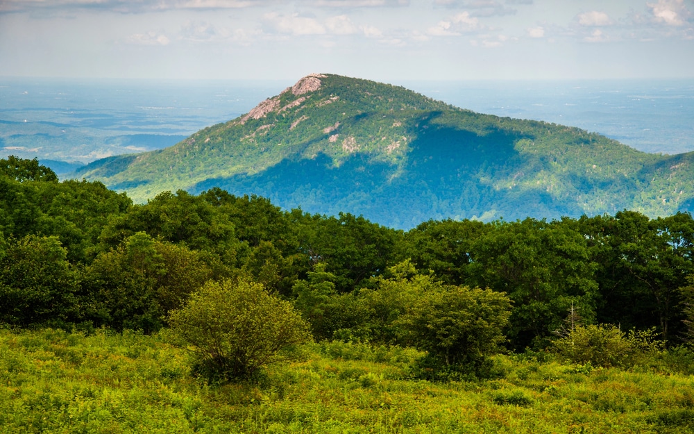
The Old Rag Mountain hike is arguably the most iconic in all of Shenandoah National Park. It’s a “very strenuous” hike, as rated by the park, largely because you’ll need to scramble and claw through a couple of miles of rocky terrain to complete the trail and take in the 360° panoramic views of the forest and national park.
This trail is one of the few trailheads not directly reachable from Skyline Drive but rather from Route 600.
The hike is a full day, 9.2-mile roundtrip circuit, taking 7+ hours to complete and climbing over 2,000 feet. However, the Old Rag Summit hike via the Berry Hollow Parking area gets you to the summit and bypasses the rock scramble.
It’s still a strenuous option, but at 5.4 miles roundtrip and a little less of a climb, the hike becomes a bit more manageable.
If you’re looking for an outdoor challenge with a great payoff, Old Rag Mountain hike is for you. Just be prepared with hiking boots, snacks, water, and other hiking essentials. And don’t forget to reserve your ticket to hike Old Rag in advance if you plan to visit between March and November. Old Rag is one of Shenandoah’s most popular hikes!
ProTip: If it’s foggy, cloudy, or visibility is bad the day you visit Shenandoah National Park, I would recommend skipping this hike. In my opinion, it’s a lot of fun, adventurous hiking but not being able to see the beautiful views at the top would be disappointing.
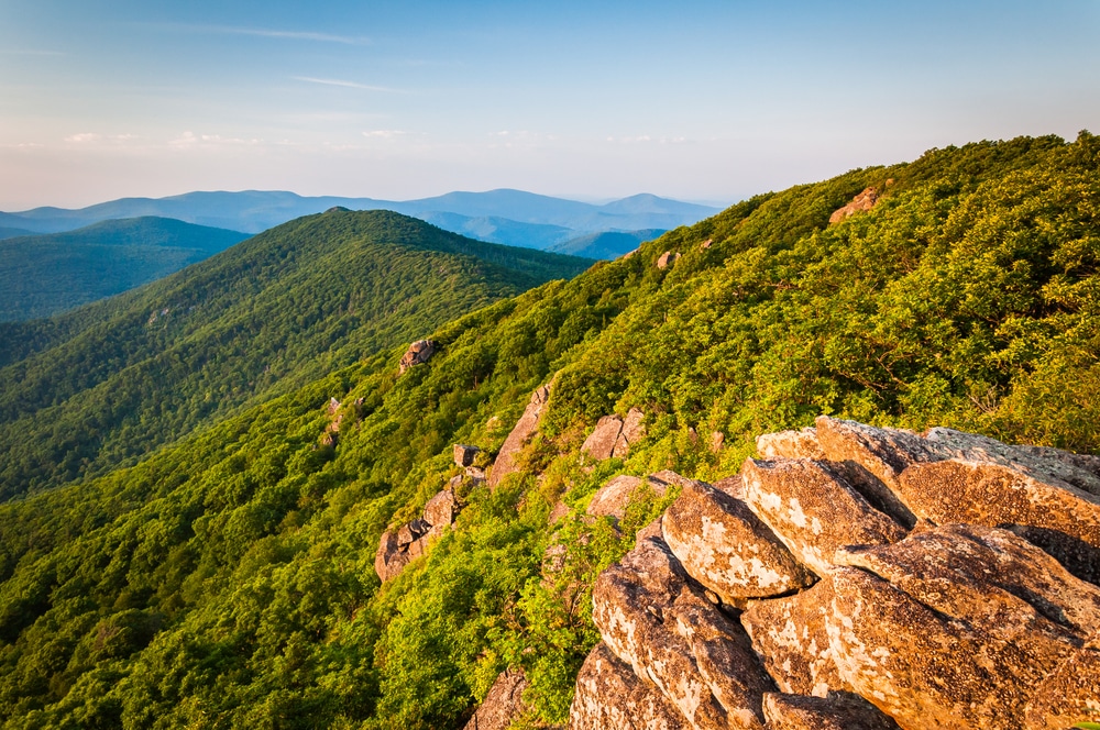
2. Hawksbill Mountain
Hawksbill Mountain is the highest point in Shenandoah National Park but the trailheads from Skyline Drive just past milepost 45 (south of the Thornton Gap entrance) are already up more than 3,000 feet. So, this means less of an elevation gain for your legs!
You have a few choices for reaching the summit. The Hawksbills Loop hike is a moderate 3-mile round trip. After connecting to the Appalachian Trail, you’ll follow the blue-painted markers along the Salamander Trail to the summit.
The Hawksbill Summit hike is one of the Shenandoah National Park hikes I did (although in hindsight, I’d choose the loop next time instead). The out-and-back summit hike I did is shorter at just over a mile and a half, but rocky and steep, as with several other Skyline Drive hikes. The trail climbs uphill for the entire hike before leveling out at the summit.
The Upper Hawksbill trail is a mile south of the other 2 hikes. It’s a 2-mile round trip but with even less of a dramatic climb than the ones mentioned above and much easier than most Shenandoah trails.
Whichever trail you choose, once you reach the top check out the view from the rocky ledges and the observation platform. You’ll really be able to appreciate the beauty of Shenandoah’s thick forest from this vantage point.
This hiking trail is also dog-friendly. We made the hike up with our 2 pups who enjoyed their outdoor adventures! It was definitely one of their favorite hikes!
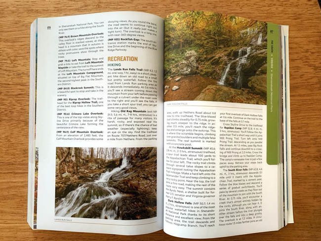
3. Dark Hollow Falls
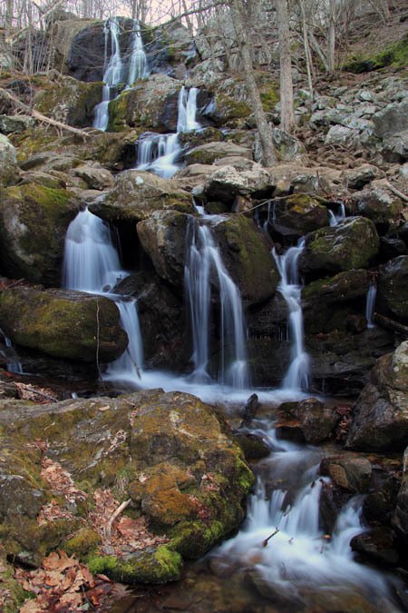
Dark Hollow Falls is perfect for all visitors to Shenandoah because it’s less than 1 mile to the falls along a downward-sloping trail. The waterfalls run alongside the trail putting hikers close to the cascading water with minimal effort.
The trail also meets up with the Rose River loop trail (more on this Shenandoah hike below) for hikers interested in journeying on to more Shenandoah waterfalls.
Either way, if you’ve parked in the Dark Hollow Falls trail parking lot just past milepost 50 in the Big Meadows area, the return trip requires a steady climb up from the waterfalls which will be more strenuous than the start of the hike.
Nevertheless, most Shenandoah visitors save an hour or so to hike to this pretty spot in the park.
ProTip: If there’s been rain before your visit, the trail could be a bit muddy and slippery. Be sure to wear the right hiking clothes and shoes so you’re comfortable and steady on the trail.
4. Rose River Loop Hike
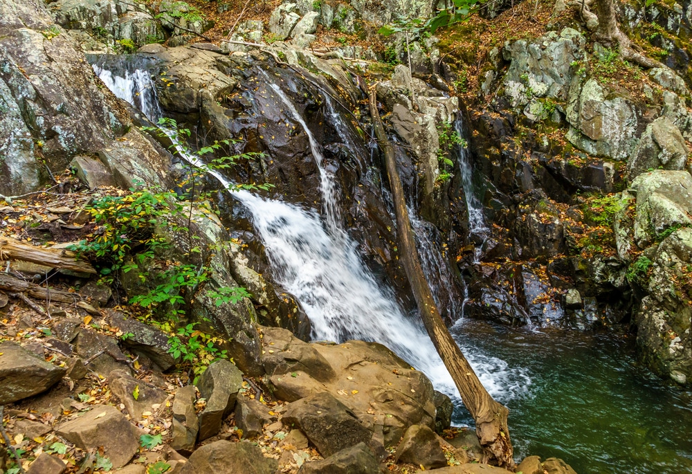
For hikers wanting a longer waterfall hike, the Rose River trail is a 4-mile loop hike of moderate terrain that’ll lead you to the serene Rose River Falls.
The ground tends to be rocky and wet in places so I recommend wearing your hiking boots for this and all of your Shenandoah National Park hiking.
Start from the parking area at Fisher’s Gap, close to the Big Meadows campgrounds near milepost 50. The Big Meadows horse trail will lead you to the Rose River loop and eventually past spectacular falls and cascades made even bigger if there’s been decent rainfall.
No need to miss Dark Hollow Falls either. When the trails intersect, hike down (and back up) about a ¼ of a mile to the falls. It’s a great way to get 2 hikes for the price of 1!
5. Whiteoak Canyon Falls Hikes
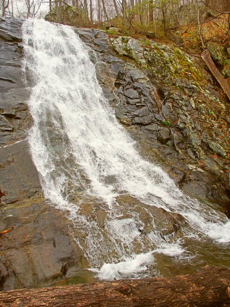
The Whiteoak Canyon Falls hikes are why seeing waterfalls in Shenandoah should be at the top of your national park itinerary. These hikes come with views of several of the park’s waterfalls. And, the combination of the rock formations and the water cascading from different heights surrounded by the leafy forest spotlights why it’s one of the prettiest things to do in Shenandoah National Park.
As with Hawksbill Mountain, there are a few choices of trails. The Lower Falls Hike is by far the easiest. It’s a 2-mile out-and-back trip to the lower falls at Whiteoak Canyon. If you’re short on time or just want an easier hike, this is an easy commitment with some fun terrain and a waterfall.
The Skyline Drive access point for Upper Whiteoak Falls begins with a descent. This moderate hike is easier on the way to the falls. But just keep in mind, everyone that goes down must come back up!
The steeper climb back up to the parking area makes this a more moderate, even a bit of a strenuous hike. Even still, expect to see plenty of people on the trails in the warmer months.
For the biggest challenge, the very strenuous Cedar Run -Whiteoak Circuit hike is 7 miles with nearly 3,000 feet of elevation gain. Hikers choosing this option should plan to spend the majority of the day completing this hike. But the trade-off is seeing several of Shenandoah’s waterfalls along the way.
6. Stony Man Loop Trail
The Stony Man trail takes hikers to the 2nd highest peak in the national park after Hawksbill Summit. The trail is about 10 miles south of the Thorton Gap entrance and has easy terrain.
The views, of course, are spectacular views overlooking the Shenandoah Valley and the surrounding mountains along the rocky overlooks. At less than 2 miles, the hike should take no more than an hour and a half.
I think this Shenandoah hike is one of the best hikes for non-hikers because it’s short and has easy terrain to navigate. And for not too much effort, you’re rewarded with the vistas at the summit.
Alternatively, if you want a longer hike, you can continue the hike to Little Stony Man to enjoy more overlooks than the Stony Man trail. And if you get lucky, you can even spot a white-tailed deer along the hike.
7. Blackrock Summit Hike
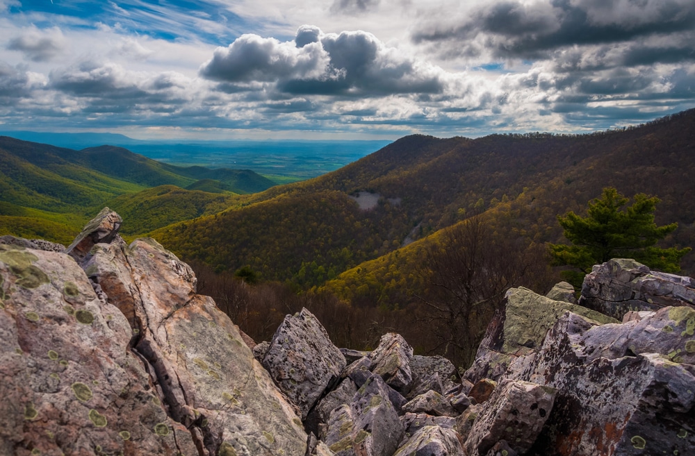
Located in Shenandoah’s southern district, just past milepost 84, the Blackrock Summit hike is especially ideal for families with younger children who may not be ready for longer hikes. The 1-mile loop is easy to complete, featuring mostly flat terrain with some manageable rock scrambling for added excitement.
Plus, it has easy access from Skyline Drive, the trail passes through scenic sections of the Appalachian Trail, offering delightful rock features to navigate and stunning views of the surrounding mountains and valleys.
If you’re finishing your day at this end of Skyline Drive, Blackrock offers the best views to watch the sunset after a rewarding day in the national park.
8. Mary’s Rock via the Pinnacle Picnic Area
The hike to Mary’s Rock via the Pinnacle Picnic area is accessed just south of the Thornton Gap entrance to Skyline Drive. The moderate hike is about 7 miles round trip and comes with the thrill of hiking along the Appalachian Trail for much of the journey.
If you visit in spring or early summer, as I did, you’ll see lush green forests and wildflowers versus the foliage colors ablaze in the autumn. But, the show-stealer is the 360° views from Mary’s Rock. For this reason, it’s truly one of the best hikes in Shenandoah!
The bonus to starting from the Pinnacle Picnic area is the great views of the Pinnacle peak (which stands at 3,700+ feet tall) on the way to Mary’s Rock. Be careful to avoid the other options for reaching Mary’s Rock from the panoramic overlook or from the Meadow Spring trailhead unless you want shorter hikes with a very steep climb up.
9. Bearfence Mountain
For anyone who loves a short hike with rock scrambling, Bearfence Mountain is for you! Listed as moderate by the National Parks Service, this 1-mile circuit hike comes with the added challenge of climbing and clawing on top of, between, and over a series of large rocks to reach the top.
If you’ve never done a rock scramble type of hike, this easy trail could be a good place to try it out. Aside from the physical challenge, the mental decision-making of where to put your feet and arms makes it one of the best hikes in Shenandoah National Park.
Once you’re at the top, take a moment to savor the panoramic park views before heading back to the parking lot via the Appalachian Trail.
10. Rapidan Camp Hike

Rapidan Camp preserves the summer retreat cabin of President Herbert Hoover. Park Rangers offer guided tours from spring until fall. This Skyline Drive trail is a great way to combine history and the beautiful outdoors that comes with a day spent in Shenandoah.
The Rapidan Camp hike is about 4 miles out and back and passes by Big Rock Falls, too. Using the parking lot at Milam Gap, take the Appalachian Trail for a short stretch to the Mill Prong Trail.
It’s one of the most beautiful hikes in Shenandoah with water crossings, a meadow, and a gradual up-and-down meandering of the trail through the forest. It’s easy to see why the location served as a Presidential retreat.
Appalachian Trail through the Shenandoah National Park
The Appalachian Trail winds its way through Shenandoah National Park, offering hikers a unique opportunity to experience a portion of this iconic long-distance trail. Stretching over 2,190 miles from Georgia to Maine, 101 miles of the Appalachian trail runs through Shenandoah National Park.
The trail intersects with several other trails within Shenandoah National Park, providing opportunities for loop hikes and connecting routes like Hawksbill Mountain, Mary’s Rock via the Pinnacle Picnic area, Bearfence Mountain, and Rapidan Camp. The natural beauty is endless!
Whether you’re tackling a small section or embarking on a thru-hike of the entire Appalachian Trail, exploring its stretch through Shenandoah should be on your to-do list.
FAQs about Shenandoah National Park Hikes
Old Rag Mountain hike is considered the most popular hike for its challenging terrain, stunning views, and rock scrambles. If you plan to do this hike between March and November, you need to reserve a ticket in advance.
Absolutely! Shenandoah National Park is definitely worth a visit. With its scenic drives, numerous hiking trails, abundant wildlife, and breathtaking views, it’s perfect for nature lovers and outdoor enthusiasts.
Luray, just north of Shenandoah National Park, offers convenient access to hiking and cycling trails. It’s also about midway along Skyline Drive so it makes an excellent stopping point if you’re breaking up your visit to the National Park over 2 days.
If you’re after the vibrant fall foliage of Shenandoah National Park, visit from late September to mid-November. To avoid crowds, opt for a spring visit when the greenery is in full bloom.
Best Hikes in Shenandoah National Park Bottom Line
Shenandoah has some of the best hiking in Virginia, not to mention in the entire mid-Atlantic region of the country. No matter which Shenandoah National Park hiking trails you head out on, you’re sure to experience the best of what our National Parks are all about!
Which Shenandoah hikes would you like to do?
Like this post? Please share it on social media using the share buttons below.
Disclosure: This post is sponsored by Moon Travel Guides. As always, all opinions are my own and are based on my own personal trip to Shenandoah National Park with my husband and my dogs.